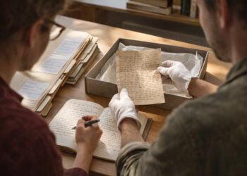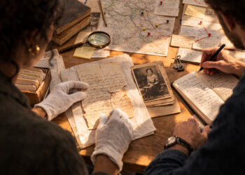
Maps are instruments of navigation and mirrors of the mind, and few individuals altered both so decisively as the cartographer at the center of this story.
His work reorganized how sailors read coastlines and how scholars visualized the globe, combining craft, calculation, and artistic sensibility.
This profile traces his methods, the controversies that followed, and the long arc of influence his projection has had on maritime practice.
It is a look at innovation as much as it is a study of a life lived where geometry met the sea.
Early life and training
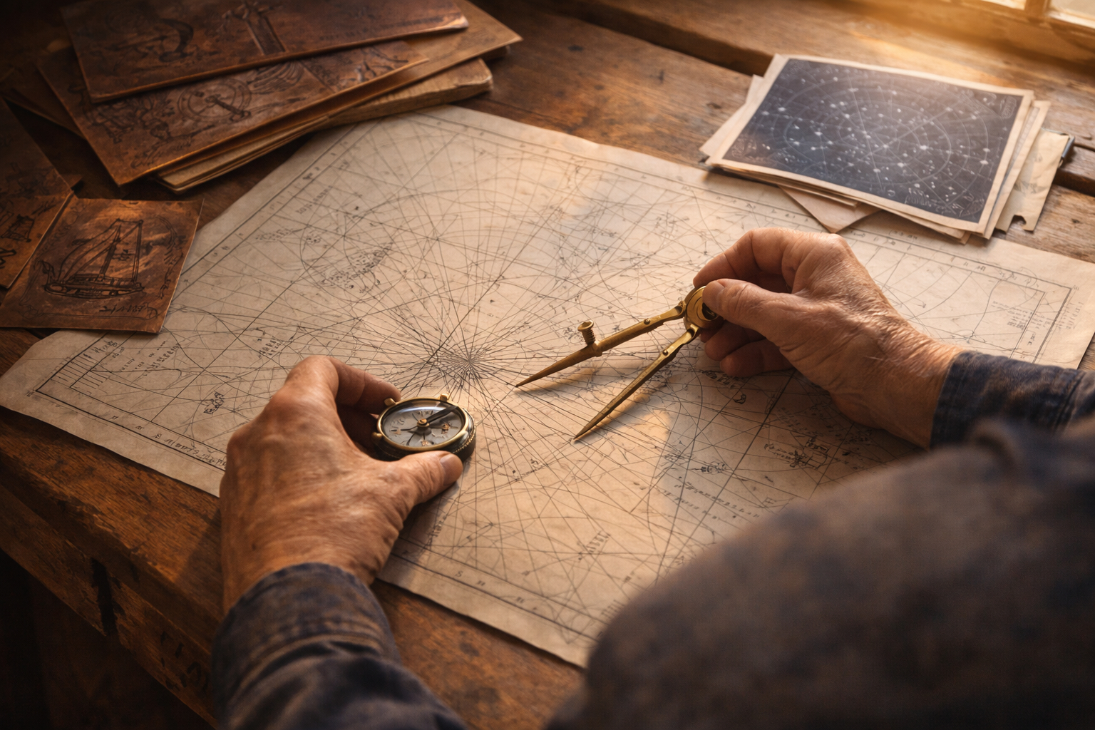
The cartographer’s formative years blended apprenticeship in engraving with rigorous study of geometry and astronomy. He learned the tools of the workshop — compasses, dividers, and engraved plates — while absorbing contemporary advances in mathematical thinking. Those dual strands of manual skill and theoretical knowledge helped him approach mapmaking not as decoration but as a technical discipline. Early commissions ranged from nautical charts to decorative wall maps, each refining his understanding of scale and representation.
His apprenticeship framed a lifelong obsession with accuracy and clarity. By synthesizing craft and calculation he set the stage for his most influential innovations.
Innovation and projection technique
His signature contribution was a method to represent a spherical surface on a flat plane in a way that preserved angles for navigation. That approach emphasized rhumb lines, enabling sailors to plot straight-line courses that corresponded to constant compass headings. The technique required mathematical ingenuity to balance distortion across latitudes while keeping meridians and parallels manageable on charts.
– Preserved local angles, aiding compass-based navigation.
– Scaled latitudinal spacing to reduce distortion for temperate voyages.
– Integrated engraving practices with geometric grids for reproducible charts.
The result was a practical charting tool rather than an idealized geographic portrait. Mariners adopted the projection for its utility even as geographers debated its distortions.
Impact and controversies
The projection’s adoption reshaped shipboard navigation and naval planning, becoming a staple on many voyages. Critics argued it misrepresented area and could mislead broader geographic understanding, sparking lively debate in learned circles. Yet its practical advantages for route plotting made it indispensable in maritime contexts despite theoretical objections.
Over time the tension between navigational practicality and cartographic fidelity became a central theme in the history of mapping. The cartographer’s name remained attached to both the method and the debate, cementing a complex legacy.
Legacy and modern relevance
Today the projection survives in digital form and as a teaching example of tradeoffs in mapmaking. Contemporary cartographers and historians study it to learn how technical constraints shape representation and to trace the history of navigational practices. Its endurance speaks to the power of pragmatic innovation when utility meets rigorous technique.
As a figure, he stands for the craftspeople who translate abstract knowledge into tools used at sea. His work reminds us that practical problems often produce the most enduring theoretical advances.
Conclusion
His life illustrates the interplay between craft and theory, where meticulous technique solved urgent navigational problems.
The projection he developed changed how voyages were planned and how seas were imagined on paper.
It remains a testament to the lasting influence one innovator can have on both practice and thought.