
Understanding historical regions requires attention to long-term patterns, local memory, and shifting boundaries that do not always align with modern maps.
Historians and geographers working with regionally focused evidence often find layered identities expressed through landscape, language, and institutions.
Approaching regions as dynamic actors helps explain continuity in trade routes, settlement patterns, and cultural practices.
This article outlines practical approaches for identifying historical regions and integrating diverse sources into coherent narratives.
Defining historical regions
A historical region is not simply a line on a map but a set of practices, networks, and meanings that persist across time. Scholars identify regions through recurring economic ties, shared administrative histories, and common cultural markers that bind communities. Definitions must remain flexible to accommodate temporal changes and overlapping jurisdictions, since regions often merge, split, or reorient without abrupt discontinuity. Clear operational definitions help researchers compare cases and build cumulative knowledge while respecting local complexity.
Regional definitions should be stated explicitly in any analysis, and scholars should acknowledge the scale and temporal frame they use. This transparency supports comparability and prevents anachronistic readings of past landscapes.
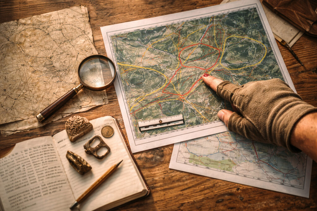
Sources and methods for regional analysis
Reconstructing a region requires a mix of textual, material, and spatial evidence that together reveal patterns of interaction and meaning. Written records offer institutional contexts, while archaeology and landscape features show long-term settlement and resource use. Cartographic and geospatial tools allow visualization of networks and continuity, but they must be applied critically to avoid imposing modern categories on historical phenomena.
– Administrative records, tax lists, and legal documents that indicate jurisdiction and economic relationships.
– Archaeological surveys and settlement studies that reveal continuity in habitation and exchange.
– Historical maps and GIS layers that trace routes, land use, and environmental change.
Combining these sources lets researchers triangulate evidence and test hypotheses about the persistence or transformation of regional patterns. Iterative comparison between data types strengthens arguments about regional identities.
Landscape and material traces of regional identity
Material culture and landscape features often preserve traces of past regional connections that texts omit or obscure. Roads, irrigation systems, religious sites, and commodity exchange nodes can function as durable markers of regional integration. Material traces also reveal everyday life and the circulation of objects, showing how identities were maintained or negotiated at local scales. Examining artifacts in situ helps connect socio-economic practices to broader territorial configurations.
Attention to materiality complements documentary analysis and highlights continuities that survive political change. Interdisciplinary teams often yield the most robust reconstructions of historical regions.
Implications for research and public engagement
Understanding regions as lived and produced spaces opens new avenues for comparative history, planning, and heritage work. Regional studies can inform conservation priorities and help communities articulate connections to past landscapes without reducing complexity. Public-facing narratives benefit when scholars communicate methodological limits and the provisional nature of regional boundaries.
Researchers should foreground collaboration with local stakeholders and transparently present the evidence behind regional claims. This practice fosters trust and produces richer historical accounts.
Conclusion
A regional perspective foregrounds continuity, networks, and material practices across time.
It encourages mixed methods and careful operational definitions to avoid presentist assumptions.
When communicated clearly, regional studies enrich both scholarship and public understanding of historical landscapes.