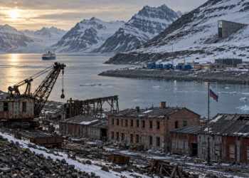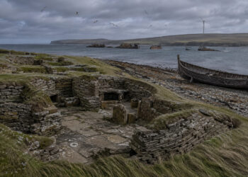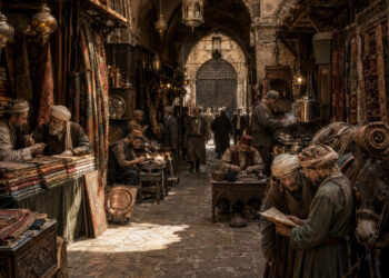


In many places the visible terrain and hidden archives combine to form regional stories that outlast political change. These narratives emerge from land use, trade routes, religious sites, and everyday practices that communities pass down. Understanding how landscapes remember human activity helps explain why people in a region feel connected even when borders change. This exploration looks at the material and cultural threads that shape enduring regional identities.
Layers of Landscape Memory
Landscapes accumulate layers of human activity: terraces, roads, ruins, orchards, and ritual locations each tell a different chapter. When scholars and local residents read those traces they uncover patterns of settlement, adaptation to environment, and shifting economic focus over centuries. This layered view resists simplistic maps that treat borders as the only meaningful divisions.
Physical features often anchor memory because they are durable and visible, but social practices reinforce those associations through stories and ceremonies. Recognizing these layers helps planners and historians preserve features that matter to community identity.
Regional Economies and Cultural Practice
Economic networks and day-to-day cultural practices shape the lived experience of a region more than formal boundaries. Markets, craft traditions, and seasonal labor cycles create connections across valleys and plains that outlast administrative redrawings. Over time these practices produce shared culinary tastes, language variants, and craft techniques that people recognize as ‘‘regional.’’
– Farmers exchanging seasonal produce along traditional routes
– Artisans passing skills through apprenticeships across nearby towns
– Local festivals that mark agricultural calendars and social obligation
These economic and cultural rhythms are resilient because they rely on repeated interactions and mutual benefit. Policies that ignore them risk disrupting the social fabric that sustains regional cohesion.
Cartography, Archives, and Public History
Maps and archives shape how people imagine regions, but they are never neutral: choices about what to include or omit influence public memory. Local archives, oral histories, and material culture projects provide alternative perspectives that reveal informal networks and community priorities. Engaging with these sources allows historians and civic leaders to craft narratives that resonate with lived experience.
Community-driven mapping and museum projects can bridge scholarly research and public knowledge by making invisible histories visible and accessible. Such initiatives foster a sense of ownership over regional stories and support heritage-led development.
Conclusion
Regions persist through a mix of physical features, economic routines, and cultural practices that people enact daily. Recognizing those elements offers a richer, more durable understanding of place than maps alone can provide. Supporting local memory and material heritage strengthens regional identities for future generations.