
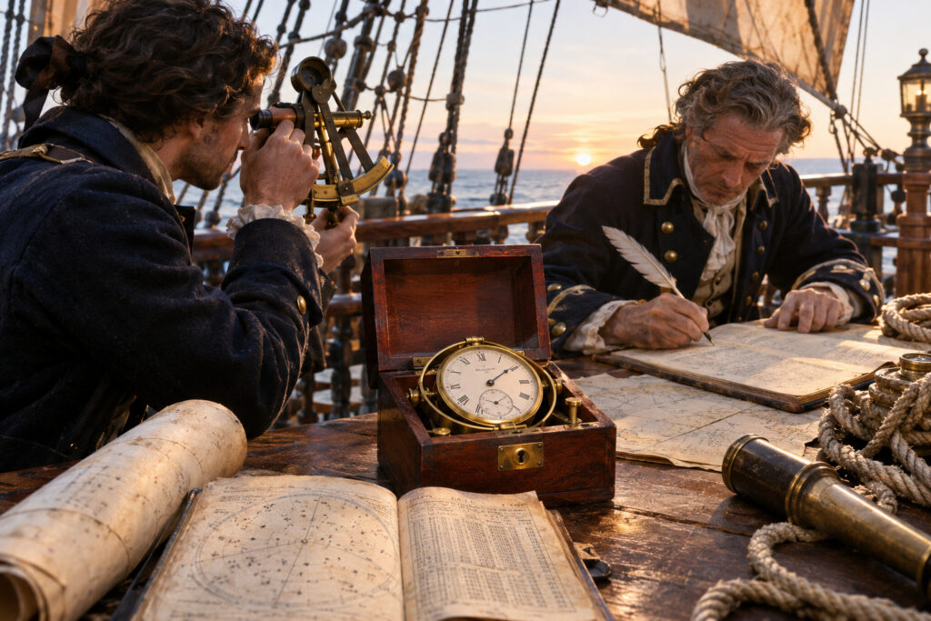
For sailors of the age of sail, latitude was easy enough: measure the sun at noon and you knew how far north or south you were. Longitude was another matter. Without an accurate way to fix east-west position, captains relied on dead reckoning — a mosaic of speed estimates, steering, and luck — and the results could be catastrophic. A string of costly wrecks in the early 1700s convinced the British government to act.
In 1714 Parliament created the Board of Longitude and offered a generous prize for any method that would determine longitude at sea within agreed limits. That single decision set off a half-century contest between astronomers and clockmakers, each pursuing very different ideas about how to pin a ship’s position on the open ocean.
Two contenders: the Moon and the Marine Clock
One route looked skyward. Astronomers proposed the lunar-distance method: measure the angle between the moon and a known star, then compare that reading to published lunar tables to find the time at a chosen reference meridian. Improving those tables mattered enormously. Midcentury advances — including refined tables and the publication of the Nautical Almanac in 1767 — made the lunar technique practical for skilled navigators long before chronometers were common.
The other route turned mechanical. John Harrison, a self-educated Yorkshire carpenter, believed a clock that kept reference time at sea would solve the problem. He built a succession of increasingly sophisticated timekeepers — H1 through H4 — each designed to resist temperature swings, humidity, and the ship’s motion. H4, completed in the 1750s, looked more like a large pocket watch than a tall clock. When it was tested at sea it kept surprisingly steady time, proving the core idea: if you know the hour at your home meridian and compare it with local noon, you can calculate longitude.
Both solutions had champions. The Board of Longitude split its awards between astronomical work and instruments. Instrument makers copied Harrison’s design; Larcum Kendall produced an expensive working copy of H4 that accompanied Captain James Cook and impressed seafarers with the new precision it offered.
From rarities to routine — and then to radio
The rest of the story is a familiar one of refinement and diffusion. Chronometers, once handmade and costly, became simpler, cheaper, and more reliable in the late 18th and 19th centuries. Navies and merchant fleets began to outfit ships with chronometers as standard navigational kit, while the lunar method continued as a backup where clocks failed.
By the 20th century, radio time signals and then satellite navigation displaced both lunar tables and marine chronometers. Still, the victory of the clock mattered in ways beyond technique: it turned longitude from a maddening uncertainty into a solved engineering problem, reshaping trade routes, naval strategy, and the map of a connected world.
Conclusion
The race for longitude is a compact history of practical problem-solving: a political prize, rival sciences, and a handful of brilliant tinkerers. Whether through the slow patience of astronomical tables or the steady tick of a marine chronometer, the seas that once swallowed ships became spaces of far greater certainty — and that change arrived not with a single flash but through decades of careful invention.