Landscapes keep traces of human activity, environmental shifts, and infrastructural change that can be read like a layered record. Using landforms to reconstruct regional histories offers routes into long-term social and economic processes that written records alone cannot capture. This approach combines field observation, archival work, and spatial analysis to reveal continuities and ruptures across time. The key is combining different scales of evidence while remaining attentive to local particularities.
Methods for Reading the Land
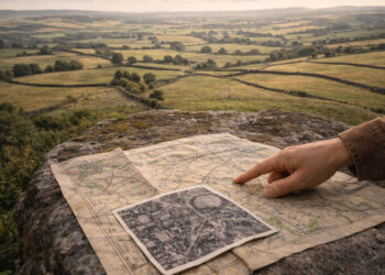
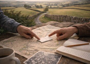
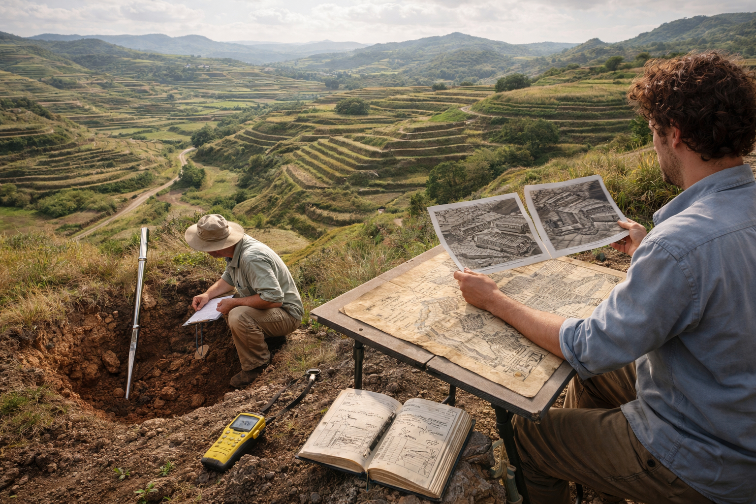
Interpreting landforms begins with systematic observation: mapping terraces, ridgelines, old roadbeds, and settlement mounds to identify patterns that hint at past land use. Geomorphological surveys, aerial imagery, and soil sampling provide physical context, while historical maps and oral histories anchor material features in human narratives. These multiple methods allow researchers to distinguish natural features from anthropogenic alterations and to date phases of change with greater confidence.
– Aerial and satellite imagery reveal large-scale patterns of field systems and deforestation.
– Soil cores help identify cultivation, flooding, and abandonment events.
– Local testimonies provide names, functions, and uses that are absent from maps.
Combining these lines of evidence produces more robust readings of place and reduces the risk of overinterpreting a single dataset. Fieldwork then tests hypotheses generated by remote and archival research.
Integrating Sources and Scales
Regional reconstructions succeed when they link micro-scale features to broader systemic processes through cross-referenced datasets. For example, a terrace sequence mapped in the field gains significance when correlated with land ownership records, tax registers, and transportation networks at provincial scales. Temporal layering is crucial: identifying when changes occurred allows explanation of causal relationships rather than merely describing patterns.
Researchers must also negotiate scale mismatches: a small farm boundary may not appear in regional maps, while a major drainage works will dominate local memory but be invisible in certain datasets. Effective integration requires iterative checking between scales to avoid misattributing local phenomena to regional trends.
Case Studies and Practical Applications
Practical studies show how landform analysis reshapes regional narratives by illuminating labor regimes, market integration, and environmental adaptation. In one example, abandoned field banks correlated with shifts in commodity routes, reframing a decline once attributed only to climatic stress. Elsewhere, mapping settlement clusters against soil quality has clarified patterns of land tenure and inheritance practices across generations.
– Comparative site studies allow transfer of insights between regions with similar geomorphology.
– Digital mapping platforms make it possible to visualize and share multi-layered evidence.
These applications demonstrate that landscape readings are not merely descriptive exercises but tools for revising historical explanations and informing heritage management.
Conclusion
Reading landforms offers a powerful complement to documentary history by exposing material traces of past human choices. When methods, scales, and sources are carefully integrated, regional narratives become more nuanced and empirically grounded. This approach encourages collaborative research that brings landscapes back into the center of historical inquiry.