
Places retain traces of past boundaries in streets, field patterns and local customs.
Understanding how everyday spaces reflect older divisions helps explain present identities and practices.
Historical maps, oral history and material remains together reveal layered and overlapping geographies of place.
The practice links landscape features to social memory, offering a practical framework for research and public engagement.
Material Traces in Ordinary Landscapes
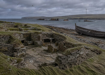
Many everyday features on the ground are legible records of former boundaries and land-use decisions. Paths, hedgerows and parcel shapes often outlast legal changes and can be interpreted alongside archival maps. Small earthworks, old walls and drainage patterns preserve decisions made generations ago and testify to continuity and change. Reading these elements requires combining field observation with documentary evidence to avoid superficial conclusions.
– Hedgerow alignments can indicate medieval enclosures or long-standing property lines that persist in modern ownership.
– Road curvatures and lane hierarchies often reflect former manorial routes or market access rather than recent planning.
– Field boundaries and stone walls sometimes coincide with older administrative or ecclesiastical limits, visible only on close inspection.
Interpreting material traces also demands temporal sensitivity: some features are recent adaptations while others are resilient legacies. Responsible interpretation specifies the level of certainty and traces of later alteration.
Stories, Words and Local Memory
Oral traditions and place-based narratives frequently encode memories of former borders, commons, or dispute sites that do not appear in formal registers. Folk explanations, local toponyms and ritual practices reveal how communities remembered landscape functions and responsibilities. Collecting these narratives enriches spatial analysis and can correct archival silences or biases, especially where records are fragmentary. A careful ethnographic approach respects local meanings while testing claims against physical and historical evidence.
Engaging community knowledgeers as collaborators builds trust and produces richer, multi-vocal histories. Their input often leads to new research questions and to the recovery of neglected histories.
Using Historical Layers in Planning and Interpretation
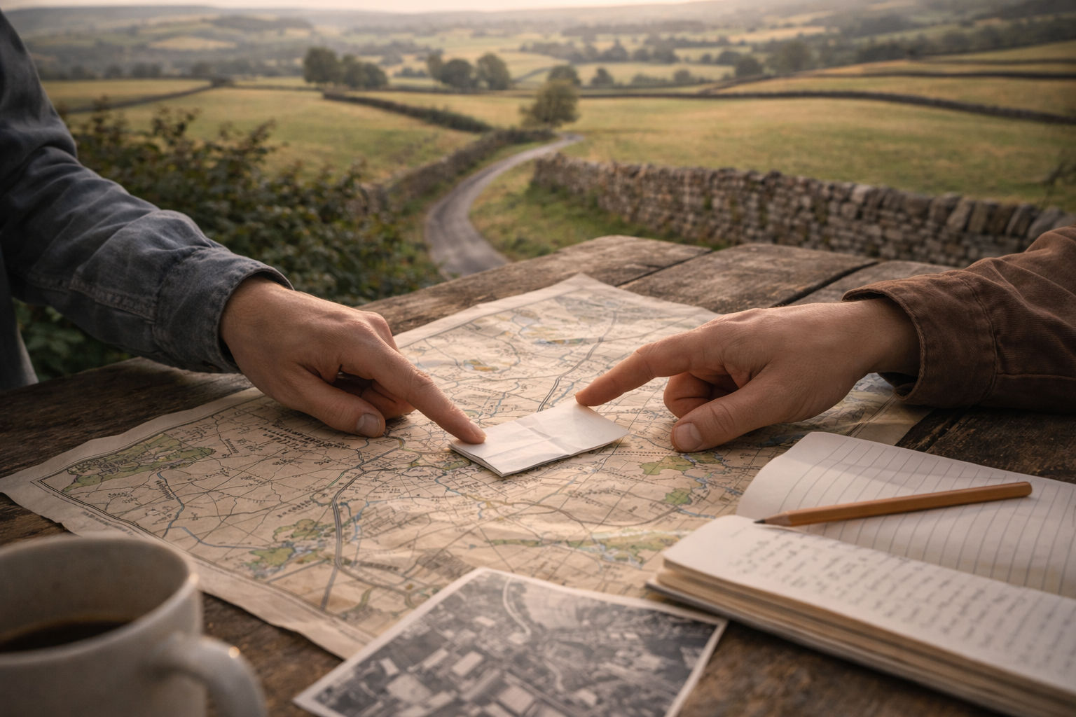
Practitioners can integrate historical layers into planning, conservation and heritage interpretation to sustain ecological networks and cultural continuity. Overlaying old maps, cadastral records and aerial photos on current GIS datasets reveals persistent axes and patches worthy of protection. These insights inform decisions about trails, signage and zoning, ensuring that development respects long-term patterns and values. Interpreters can turn findings into accessible stories that connect residents and visitors to lived histories of place.
– Facilitate map-overlay workshops with local groups to identify features for protection or commemoration.
– Create interpretive materials that explain vanished boundaries and their present-day traces in plain language.
Applied thoughtfully, this work strengthens stewardship by linking everyday landscapes to collective memory and tangible heritage.
Conclusion
Reading everyday places through the lens of past boundaries deepens our understanding of regional identity and landscape evolution.
It connects physical traces, community stories and planning choices in ways that support conservation and education.
Collaborative, layered analysis makes historical geography practical and relevant for both scholars and local communities.