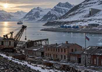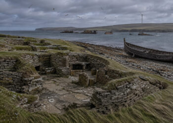

In studying regions, historians read landscapes as texts that record decisions, movements, and adaptations over centuries. The physical environment, settlement patterns, and infrastructure leave traces that help reconstruct how people understood and organized place. Regional narratives connect material evidence with documentary sources to reveal the pressures that shaped everyday life. Thinking regionally foregrounds relationships among communities, economies, and the environment over time.
Defining Regional Layers
A regional approach treats landscapes as layered archives where natural features, human modification, and symbolic meanings interact. Geology and waterways often set broad constraints, but social practices determine land use and settlement density, producing distinct regional signatures. Archaeology, maps, and oral histories help identify where layers converge or conflict, showing processes that created continuity or rupture. By tracing these layers, scholars can move beyond administrative boundaries and recover lived experience across scales.
Sources and Methods
Combining diverse sources is essential to reconstruct regional narratives because each source type reveals different temporal and spatial scales. Documentary records like tax rolls and travel accounts capture institutional change, while field surveys and aerial imagery expose settlement morphology and land-use shifts. Environmental data and place names provide clues to earlier economies and movement corridors.
– Landscape archaeology connects material remains to socioeconomic practices that documents may omit.
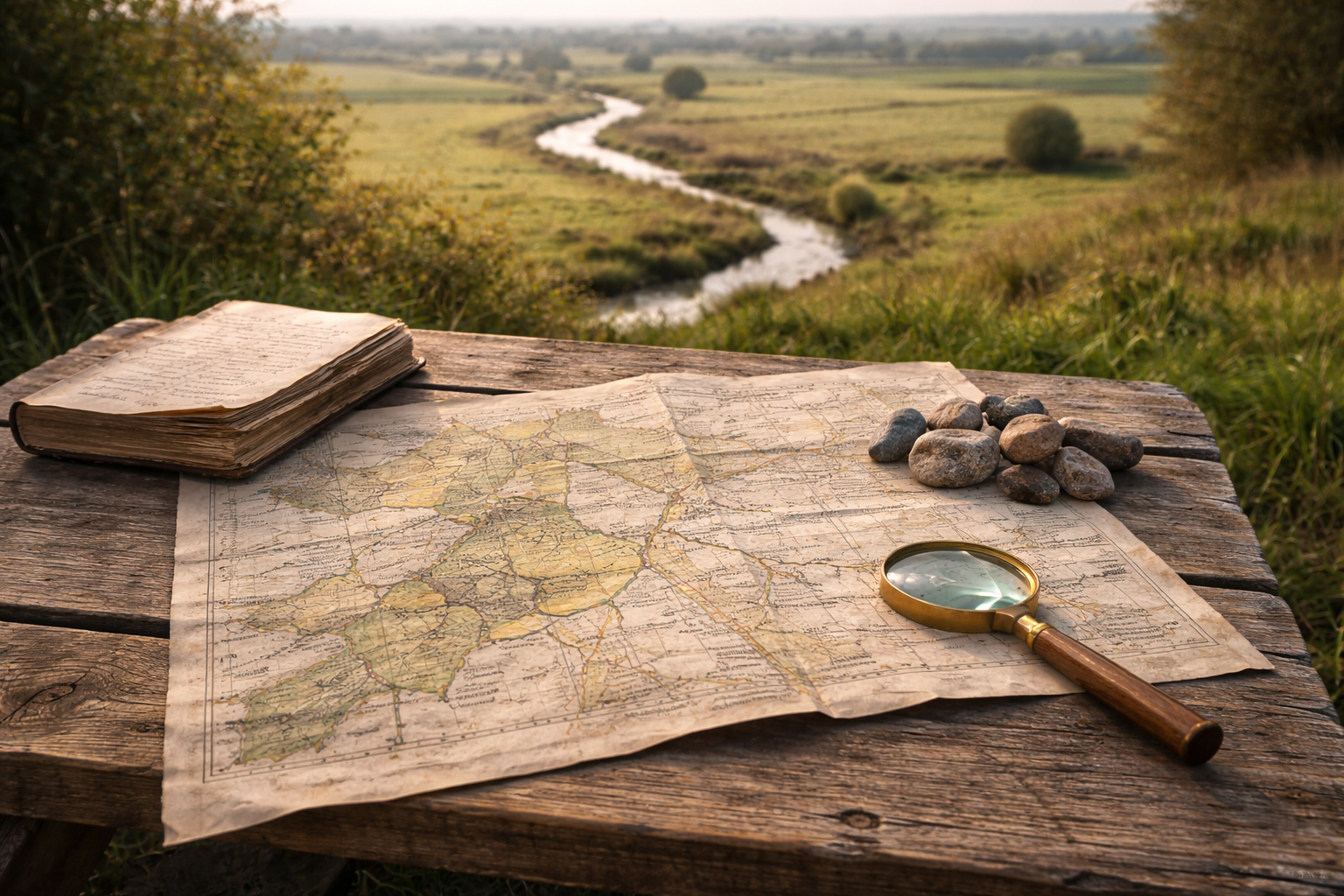
– Historical cartography visualizes changing conceptions of place and routes of exchange.
– Oral traditions and local memory can preserve patterns invisible in official records.
Together, these methods allow a richer, multi-scalar reading of regions, where absence in one archive can be understood through presence in another.
Interpreting Continuity and Change
Interpreting regional change requires attention to both persistence and transformation, as they often appear simultaneously across different registers. A road or river may persist as an axis of movement even as settlement types and political affiliations shift around it, showing how infrastructure shapes long-term connections. Conversely, sudden demographic or economic disruptions can leave minimal visible traces but profound social consequences, demanding careful cross-referencing of sources. Analysts must therefore balance pattern recognition with attention to contingency, recognizing that similar landscape features may support divergent social worlds.
Conclusion
Reading historical regions means attentive layering of evidence, from stones in fields to entries in ledgers, to reveal sustained relationships and sudden breaks. This perspective reframes boundaries as outcomes of practice rather than fixed frames, allowing more nuanced narratives of place. Engaging multiple methods makes regional history a dynamic field that connects past landscapes to present identities.