
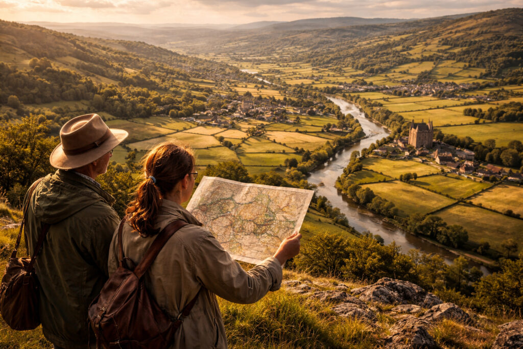
Landscapes carry the imprint of human decisions, movements and interactions across time.
Fields, transport corridors, settlement clusters and waterways form spatial patterns that act as a distributed archive.
Studying those arrangements at regional scale helps reconstruct networks of trade, kinship and governance previously invisible in texts.
This introduction frames methods and interpretive steps for reading landscapes as evidence of past human networks.
Landscape as Archive
Landscapes accumulate evidence: terraces, road alignments, property boundaries and ruin scatter all encode activity sequences and social choices. Researchers use aerial imagery, historical maps and field survey to identify persistent features that indicate long-term connectivity and land use. These visible patterns often complement documentary sources, filling gaps where written records are absent or biased. Reading a landscape as archive means treating space itself as a primary source demanding contextual interpretation.
Interpreting these features requires attention to scale and sequence, distinguishing short-lived traces from structural reorganization. Combining material and textual evidence strengthens hypotheses about how and why networks formed in particular places.
Traces of Mobility and Exchange
Paths, bridges and market sites are the physical skeleton of historical exchange, while resource extraction and craft loci reveal economic linkages across regions. Spatial clustering of production sites alongside transport corridors often signals exchange systems that linked producers, intermediaries and consumers. GIS analysis and spatial statistics help quantify relationships between nodes and corridors, revealing hierarchies and flows that shape regional dynamics. Ethnographic analogies and experimental archaeology can further test functional interpretations of features.
Recognizing the signatures of mobility highlights how everyday travel and long-distance connections coexisted and reinforced each other. Attention to seasonal and temporal variability uncovers shifting routes and the resilience or fragility of networks.
Conservation, Interpretation and Public Engagement
Understanding landscape networks has practical implications for heritage management and planning, as protection priorities can shift when connectivity is valued alongside monumental sites. Interpreting networks for the public benefits from visual tools such as mapped storylines, time-sliced reconstructions and immersive media that emphasize relationships rather than isolated places. Collaboration with local stakeholders ensures that contemporary values and uses inform conservation strategies, balancing access, preservation and landscape functionality. Outputs that connect present communities to past networks help sustain both knowledge and stewardship.
Aligning research with management priorities creates durable outcomes for heritage that respect living landscapes and their histories.
Conclusion
Landscape patterns offer a powerful lens for uncovering past human networks across regions. Careful, scale-aware analysis integrates material traces with spatial analysis and community knowledge. This approach enriches historical narratives and supports informed conservation and interpretation strategies.