
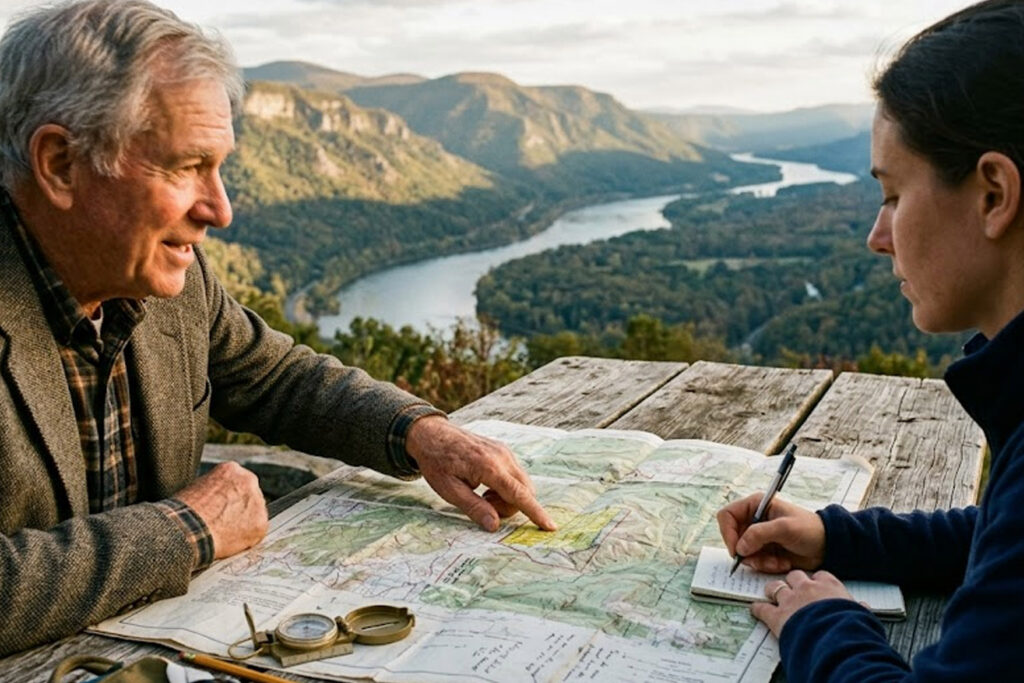
Regions are more than administrative lines: they are living tapestries woven from terrain, resources, and human memory. The physical landscape influences settlement patterns, economic life, and the symbolic meanings communities attach to place. Understanding regional history requires attention to how rivers, mountains, and coasts shape everyday choices and long-term developments. This article explores the interplay between geography, culture, and politics in forming regional identities.
Studying these connections enriches our view of past events and informs how present communities interpret their origins and futures.
Geography and Economic Development
Topography and access to resources often determine the economic strategies available to a region, from agriculture to trade and industry. Valleys channel transportation paths, while natural harbors become hubs of exchange and cultural contact. These economic patterns, once established, tend to generate institutions and infrastructures that persist across generations. Historians trace how early economic choices linked to landscape create durable advantages or constraints.
- Riverine areas frequently foster dense settlements and market networks.
- Mountainous regions can encourage fragmented political structures and localized economies.
Examining material conditions helps explain why certain regions developed distinctive social hierarchies and economic specializations.
Cultural Practices and Memory
Landscape also shapes cultural life: seasonal cycles, agricultural calendars, and local resources influence rituals, crafts, and storytelling. Collective memory often anchors itself to prominent natural features, turning them into landmarks of identity and sites of commemoration. Folklore and place-names encode historical experiences and migrations, preserving knowledge that formal records may omit. Cultural historians use these traces to reconstruct everyday life and shifting identities over time.
- Festivals can reflect harvest rhythms tied to specific ecological conditions.
- Oral histories frequently reference landscape markers as mnemonic devices.
By reading cultural practices against the map, we gain insight into how communities adapt and imagine themselves within particular environments.
Politics, Boundaries, and Change
Political borders rarely align neatly with ecological zones, which creates tensions that shape conflict and cooperation. Resource competition, strategic positions, and mobility routes influence how authorities draw boundaries and govern populations. Over time, environmental changes, technological advances, and economic shifts can transform the importance of landscape features. Scholars examine how such transitions reconfigure regional power, migration flows, and identity politics.
- Infrastructure projects can redefine the connectivity of a region.
- Climatic shifts may force adaptations in livelihoods and settlement.
Recognizing these dynamics deepens our understanding of regional resilience and the contingency of historical outcomes.
Conclusion
Landscapes are active participants in regional history, shaping economies, cultures, and politics in intertwined ways. Attending to physical terrain alongside social processes yields a richer, place-sensitive narrative of the past. This perspective invites more nuanced research and helps communities interpret their heritage within its environmental context.