Landscapes are archives where physical traces and human memories combine to shape regional identity. Field marks, settlement clusters, and transport corridors each encode episodes of adaptation, conflict, and continuity across time. Reading these patterns requires combining maps, oral histories, and material evidence in dialogue rather than in isolation. This approach foregrounds how everyday places articulate long-term social and environmental processes.
Historical Boundaries as Cultural Frameworks
Historical boundaries are not only administrative lines but also the result of economic practices, ritual territories, and resource regimes. These frameworks often persisted in local memory long after formal jurisdictions shifted, guiding land use and social relations in discernible ways. Archaeologists and historians therefore look for durable markers — roads, hedgerows, terraces — that reveal the imprint of earlier orders. Attention to such markers shows how regions are knitted by practices rather than only by policy.
Methods for Tracing Regional Change
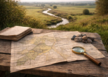
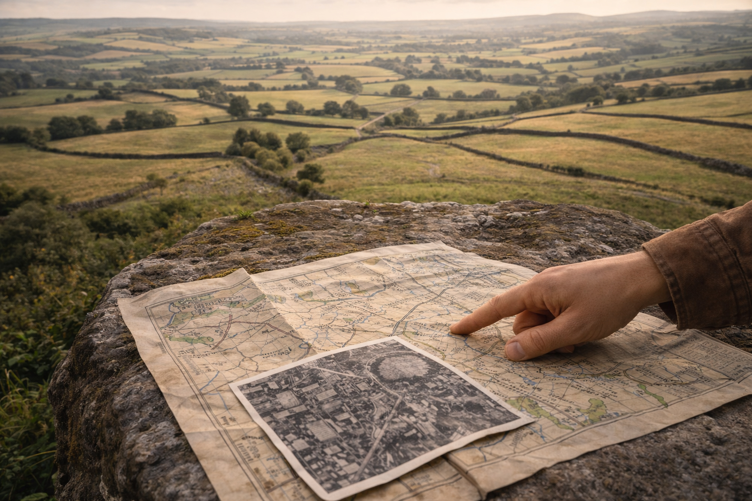
Effective regional analysis combines cartographic comparison, landscape survey, and documentary study to build layered chronologies. Georeferencing old maps against modern maps can reveal lost routes and altered floodplains, while field surveys validate those signals on the ground. Ethnographic interviews add a living dimension by explaining why certain places retain specific uses or meanings.
– Compare historical maps with recent aerial imagery to detect persistence and disruption.
– Conduct targeted field surveys at suspected continuity nodes like crossroads or mills.
– Use oral testimonies to interpret ambiguous or eroded material traces.
After synthesizing these methods, researchers can propose plausible sequences of change and test them against further evidence. This iterative process helps distinguish between short-term fluctuations and enduring regional transformations.
Interpreting Landscape Evidence
Interpreting landscape features requires care to avoid deterministic readings that ignore contingency and agency. A field boundary might reflect agrarian reform, inheritance customs, or ecological constraints, and each explanation carries different implications for regional dynamics. Cross-disciplinary triangulation reduces the risk of single-cause accounts and strengthens interpretations by showing how multiple forces coalesced. Clear argumentation then links observed patterns to wider social and economic stories.
Conclusion
Reading landscapes as layered records offers a robust way to understand regional change through concrete, traceable features. By integrating maps, material traces, and lived memory, scholars can reveal both continuity and transformation in how people shaped place. This method encourages nuanced narratives that respect complexity while remaining empirically grounded.