
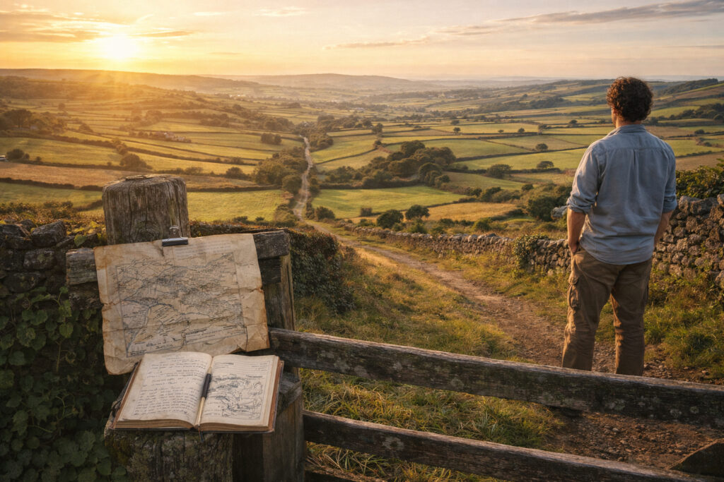
Landscapes carry the imprint of human choices, economies, and movements across time. As historians and geographers examine regions, they read patterns in fields, roads, and settlement clusters to understand continuity and change. Regional study reveals how everyday life, trade networks, and cultural practices shape durable place identities. This approach connects material traces with social meanings to reveal layered histories in the places people inhabit.
Reading the Terrain as Historical Text
Interpreting a landscape as a historical text begins with close observation of surviving features and their relationships. Field boundaries, hedgerows, building materials, and road alignments can indicate agricultural regimes, land tenure systems, or technological shifts over centuries. Combining archival maps with contemporary surveys helps reveal when and why certain features emerged or disappeared. By treating the terrain as evidence rather than background, researchers uncover narratives of adaptation, resilience, and conflict embedded in place.
Boundaries, Mobility, and Everyday Life
Boundaries are not only political lines but lived transitions that influence patterns of movement, commerce, and social interaction. Markets, pilgrimage routes, and informal pathways often leave physical and oral traces that outlast formal borders, shaping regional identities in subtle ways. Studying mobility—seasonal labor, trade flows, migration—illuminates how regions are connected nodes within larger systems rather than isolated units. This perspective emphasizes the everyday practices that sustain regional cohesion across changing administrative frameworks.
Methods for Mapping Regional Change
A mix of qualitative and quantitative tools strengthens regional analysis and helps translate complex evidence into coherent stories. Spatial analysis using historical maps and GIS can identify shifts in settlement density or land use, while oral histories and local archives provide context for those shifts. Interdisciplinary collaboration—bringing together archaeologists, geographers, and local historians—yields richer interpretations that balance material data with human experience.
– Geospatial comparison of historical and modern maps to track continuity.
– Ethnographic interviews and place-based narratives to recover intangible heritage.
These methods together create layered maps that respect both empirical patterns and cultural meanings. Short-term fieldwork paired with long-term datasets allows researchers to test hypotheses about causation and chronology in regional change.
Conclusion
Regional landscapes offer a powerful lens for understanding how places form and persist through time, blending material traces with human stories. By integrating spatial methods, documentary research, and local knowledge, scholars can reconstruct the rhythms of everyday life that shape regional identity. This approach yields nuanced histories that connect past practices to present landscapes.