
Introduction
Regions are living mosaics shaped by environment, migration, and human activity over time. Understanding their layers reveals why certain towns, roads, and cultural practices persist while others fade. This piece explores how natural features, historical movements, and cultural exchange combine to define regional character. It offers perspectives useful to researchers, planners, and curious readers interested in place-based history.
Natural Boundaries and Human Patterns
Rivers, mountain ranges, and coastlines have long directed where people settle and how communities interact. Natural boundaries create opportunities for trade and isolation alike, influencing agricultural choices and transport routes. Over centuries, these features also guide political divisions and economic ties, often outlasting temporary administrative changes. Observing physical geography helps explain enduring patterns of population density and land use.
Recognizing the role of landscape is essential for interpreting settlement maps and economic histories. Planners and historians can both benefit from this ecological perspective when assessing continuity and change in a region.
Historical Routes and Settlement Growth
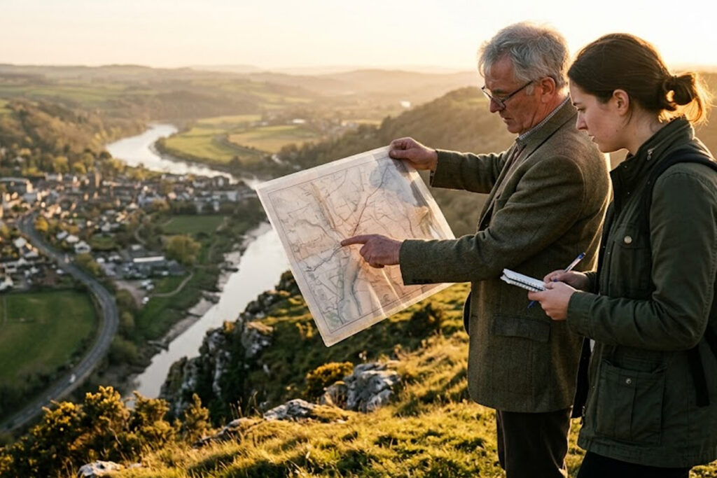
Paths of migration, trade corridors, and strategic military routes have left visible traces in urban layouts and regional economies. Towns often develop at crossroads or near resources that attracted early travelers and merchants. As transportation technology evolved, some routes gained prominence while others declined, reshaping the fortunes of settlements along them. Maps that layer historical routes over modern infrastructure reveal these shifts clearly.
Studying these patterns highlights how connectivity influences cultural exchange and economic resilience. It also provides clues about why some communities thrive as hubs while others become peripheries.
Cultural Layers and Language
Language, religious practices, and local customs accumulate in layers as populations interact and adapt. Place names, festivals, and culinary habits often preserve older identities even after political borders change. These intangible elements can be mapped alongside material culture to build a fuller picture of regional identity. Cultural layering shows both continuity and creative blending over time.
- Toponymy preserves linguistic influences from successive inhabitants.
- Architectural styles reveal economic connections and aesthetic exchange.
- Local rituals often synthesize multiple historical influences.
Combining linguistic and material evidence allows researchers to trace subtle threads of continuity across generations. This method enriches narratives of regional development without relying solely on official records.
Conclusion
Regions emerge from the interplay of environment, movement, and cultural exchange, producing distinct and evolving identities. Examining natural features, historical routes, and cultural layers together offers a balanced understanding of place. Such integrated perspectives are valuable for heritage work, planning, and anyone seeking to understand how past choices shape present landscapes.