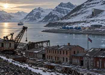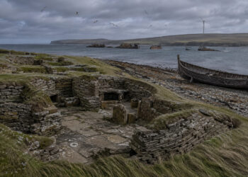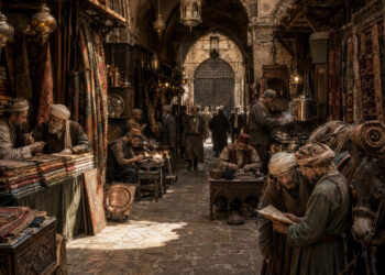

Understanding how regions form and persist is central to historical inquiry. Regional identities emerge from long-term interactions between people, environment, and institutions, and they shape both memory and material culture. By tracing landscapes, linguistic patterns, and settlement networks, researchers can reveal continuities that outlast political borders. This article outlines ways to think about regions as dynamic historical processes rather than fixed territories.
Defining historical regions
Historical regions are analytical constructs that help historians group places with shared characteristics or trajectories. They can be defined by physical features such as river basins or mountain ranges, by economic networks like trade corridors, or by cultural practices transmitted over generations. Importantly, regions are not always coextensive with administrative borders and often overlap or shift over time. Treating regions as flexible lenses allows for more nuanced narratives about continuity and change.
Regions organize evidence and suggest lines of inquiry that might be invisible in national histories. By foregrounding connections rather than separations, scholars can reinterpret familiar events within broader spatial contexts.
Layers of identity and landscape
Regional identities are multilayered, combining material landscapes with symbolic meanings and social practices. People living in the same geographic area may relate to different regional scales simultaneously — local, regional, and supraregional — depending on trade ties, language, or ritual calendars. These layers produce complex patterns of belonging that merit careful unpacking. Paying attention to everyday practices reveals how regional identities are reproduced and contested across time.
– Rituals and festivals that tie communities to place.
– Economic practices that link markets across distances.
– Language and dialect patterns that indicate long-term interactions.
Exploring these layers helps historians move beyond simple boundaries to understand how people experienced space and community in the past.
Tools for mapping change over time
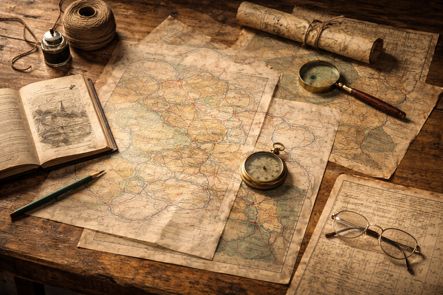
A range of methods can illuminate how regions form and transform, from textual analysis to spatial technologies. Historical maps, travel accounts, and cadastral records provide snapshots of past landscapes, while GIS enables the visualization of movement, settlement density, and environmental change over centuries. Combining qualitative and quantitative sources strengthens interpretations and helps test hypotheses about regional formation. Digital tools also allow researchers to layer temporal information and reveal the timing of key shifts.
– Comparative mapping of trade routes and population centers.
– Temporal GIS models that animate change across centuries.
– Network analysis to chart connections among towns and institutions.
Using multiple tools encourages richer, evidence-based reconstructions of regional histories and highlights areas for further archival research.
Applying regional perspectives to research
Regional frameworks can reshape questions about identity, economy, and governance in historical studies. They are particularly useful for studying borderlands, long-distance exchange, and environmental history, where local and extra-local forces interact. Adopting regional perspectives also fosters interdisciplinary collaboration with geography, archaeology, and anthropology. Ultimately, this approach deepens our understanding of how places acquire meaning and how communities navigate continuity and transformation.
Conclusion
Regions are productive analytical units that reveal connections often obscured by political boundaries. By combining sources and methods, scholars can trace the layered processes that produce regional identities. Embracing regional history opens new pathways for interpreting past landscapes and social life.