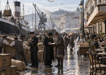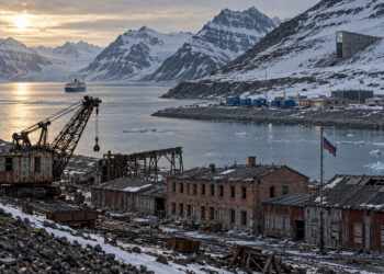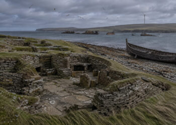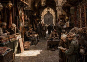

Historical regions are best understood as palimpsests where human activity, environment, and memory overlap across time.
Boundaries are often porous and shift with economics, infrastructure, and social ties rather than fixed lines on a map.
Reading these landscapes helps historians and regional planners identify continuities and moments of transition that shape present identities.
This article surveys methods for interpreting local geographies and suggests practical approaches for integrating landscape evidence into regional narratives.
Reading the Layered Landscape
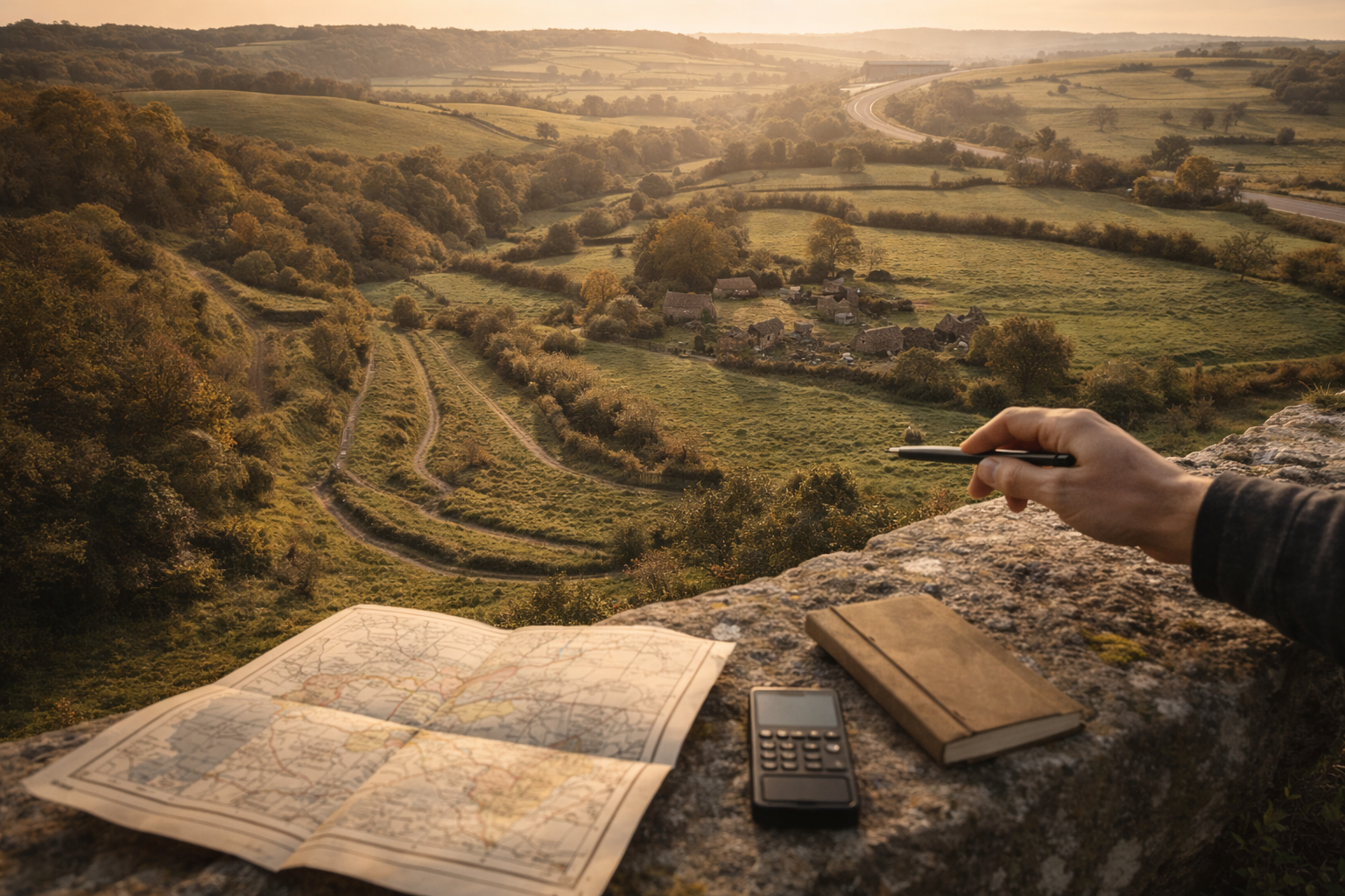
A layered approach to landscape study begins with deliberate observation of physical features and material remains and connects them to documentary and oral sources. Field visits reveal settlement patterns, road alignments, agricultural terraces, and ruins that often predate administrative boundaries and point to long-term land use. Interpreting these traces requires triangulating what you see with maps, cadastral records, and historical accounts to avoid misleading singular explanations. Combining visual analysis with temporal sequences helps reveal how people adapted to and modified their environment over generations.
– Look for recurring settlement nodes, abandoned marginal lands, and persistent pathways that indicate sustained human presence.
– Compare elevation, soil, and water access to settlement density to understand resource-driven patterns.
Synthesizing environmental and material evidence encourages a narrative that respects both continuity and change. This balance is key to explaining why certain practices or identities endure while others fade.
Sources Beyond Maps
Textual records are vital but incomplete; a broader source base enriches regional interpretation. Parish registers, court rolls, tax lists, and travelers’ accounts each capture different facets of social and economic life and often illuminate connections overlooked by formal maps. Archaeological surveys and place-name studies add depth, revealing activities invisible in written records, such as seasonal grazing, craft production, or unrecorded routes. Digital tools—GIS layers, aerial imagery, and historical map overlays—facilitate comparison across periods and scale up local observations into regional patterns.
– Use digitized archives to trace property, tenancy, and infrastructure changes over time.
– Incorporate oral histories to capture memory, naming practices, and lived experiences that documents omit.
Integrating diverse sources reduces reliance on any single narrative and opens space for contested histories. It also helps surface marginalized voices and practices essential to regional complexity.
Engaging Communities and Continuity
Local communities are custodians of memory and can provide leads, interpretations, and priorities for regional study. Collaborative projects that involve residents in mapping, oral history collection, and site documentation build trust and produce richer, more grounded results. Engagement also supports stewardship of landscapes and promotes public understanding of how past decisions shape current challenges like infrastructure placement or land use debates. Giving communities a role in research ensures that historical insights are useful and accessible beyond academic audiences.
– Design participatory workshops focused on mapping and storytelling to connect scholarly research with lived experience.
– Encourage community archives and digital platforms to preserve and share local knowledge.
Sustained collaboration fosters local investment in preservation and interpretation initiatives. It also creates lasting resources for future research and planning.
Conclusion
Reading local geographies demands attentive fieldwork, varied sources, and community partnership to reveal deep temporal connections. Collaborative, multi-method approaches make regional histories more nuanced and relevant to contemporary concerns. By treating landscapes as records of human decision and adaptation, researchers can illuminate long-term change in meaningful ways.