
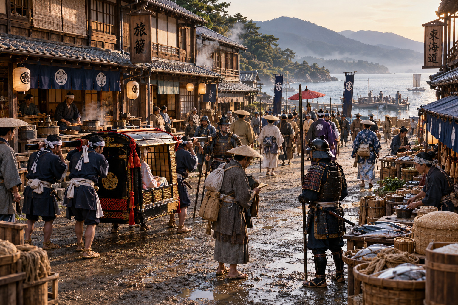
Stretching along Japan’s Pacific edge, the Tōkaidō was the most traveled road of the Tokugawa era, linking Edo (the shogun’s seat) with the imperial capital around Kyoto. It was not a single, paved highway but a stitched series of post towns, ferries and mountain passes—laid down and policed as part of early modern statecraft. The route’s practical importance grew from Tokugawa policies that required feudal lords to travel periodically to Edo; those processions, and the merchants and pilgrims who followed, turned the coast into a continuous corridor of movement.
Stations, inns, and the texture of travel
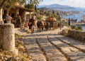
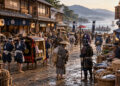
Along the road were the famed shukuba—post towns built to serve passing traffic. Each one had a hierarchy of lodging: the honjin for high-status travelers, waki-honjin as overflow, and numerous hatago for ordinary merchants and pilgrims. These places were more than rest stops; they were marketplaces and information hubs where local produce, gossip, and ideas exchanged hands. Checkpoints (sekisho) controlled movement of weapons and monitored departures of important women from domains, shaping who could pass and under what conditions. Travel on the Tōkaidō was sensory and social: the smell of charcoal fires in an inn, the bustle at ferry landings, the shouts of porters negotiating loads—daily routines that made the route feel less like a line on a map and more like a lived landscape.
Prints, processions, and modern echoes
The road’s visual life was immortalized in ukiyo-e prints, most famously in Hiroshige’s series showing the “Fifty-three Stations of the Tōkaidō.” Those images fixed particular views—the mist over a harbor, a mountain pass, a lonely shore—into the wider cultural imagination and helped spread an idea of the coast as a distinct region. Economically, the road knit coastal towns into supply chains: salt, fish, rice and crafts moved along or beside it, and local economies adapted to steady streams of travelers. When Japan later modernized, new transport lines often followed the same corridor. The railways and, in the 20th century, the high-speed Tōkaidō Shinkansen traced familiar geography, turning a string of post towns into the backbone of a densely urbanized region.
Conclusion
More than a historic route, the Tōkaidō shows how repeated human movement shapes a region’s identity. Inns, checkpoints and prints made the coast legible to travelers and to later generations; economic flows hardened into urban patterns that survive today. Walking—or glancing at a Hiroshige print—reminds us that regions are built as much by everyday people on the road as by the maps their rulers drew.