
We often understand regions through maps and administrative borders, but lived environments reveal deeper patterns.
Local rivers, hills, and roads shape where communities gather, trade, and cultivate meaning across generations.
Material remains, folk stories, and place names carry memories that resist tidy political definitions and continue to inform identity.
Exploring these elements helps readers appreciate the layered processes that form regional character over time.
Landscape and Settlement Patterns
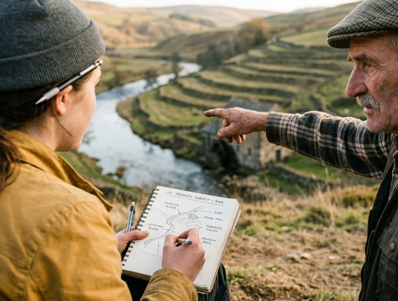
Topography and access to water have long determined settlement density and the distribution of agricultural zones in any region. These ecological constraints also influence social networks, trade routes, and the siting of ritual and civic places. Archaeological and documentary evidence can reveal shifts in population and land use, especially when climate or technology changes. Reading landscape as a historical record requires combining maps, oral histories, and material evidence. Local adaptation strategies often leave visible traces in field systems and property organization.
Recognizing these patterns clarifies why certain towns persist while others decline. It also reframes policy debates by emphasizing long-term ecological and cultural connectivity.
Language, Traditions, and Built Heritage
Language and intangible traditions encode a sense of belonging that often crosses official borders. Festivals, ritual calendars, and vernacular architecture create rhythms and visible markers that anchor people to place. Preservation of built heritage, from common houses to communal mills, offers tangible links to past lifeways and economic organization. When communities maintain these expressions, they transmit regional identity to younger generations. Interpreting these features through comparative studies highlights regional overlaps and distinctive innovations.
Documenting these practices alongside material culture gives a fuller sense of continuity. Cultural stewardship thus becomes central to sustaining regional distinctiveness.
Economy, Movement, and Boundaries
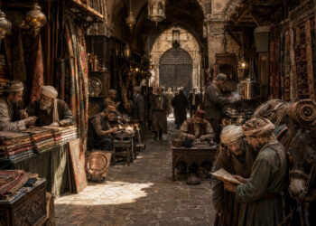
Economic ties and patterns of movement often redraw perceived boundaries, linking hinterlands with urban centers through labor, goods, and ideas. Markets, seasonal migration, and transport corridors can create overlapping spheres of influence that defy simple classification. Recognizing these dynamics helps explain hybrid cultural forms and contested territorial claims.
- Seasonal trade routes linking rural villages to market towns.
- River corridors that facilitate exchange of goods and ideas.
Policy that ignores these flows risks eroding traditional networks. Integrating economic history into regional studies supports more resilient planning and livelihoods.
Conclusion
Regional identity emerges from a web of social, ecological, and cultural connections shaped by economy and place.
Studying these elements together reveals patterns obscured by administrative borders and short political timelines.
A layered approach enriches heritage work, informs planning, and strengthens community stewardship.