
Historical regions are living frameworks that link past geographies to present places.
They emerge from patterns of settlement, language, economy and governance over time.
Interpreting these layers helps researchers, planners and communities understand continuity and change.
This article outlines how scholars define regions, methods to map their shifts, and how local memory sustains regional identity.
The aim is practical: to show tools and perspectives useful for regional history work.
Defining Historical Regions
Scholars define historical regions as territories shaped by long-term social, economic and cultural processes rather than fixed administrative lines. Focus is on continuity in practices, networks and material traces that give a place distinct character. Definitions often balance environmental constraints, settlement patterns and institutional histories to reveal meaningful boundaries. These boundaries can be porous, overlapping, and contingent, reflecting different scales of analysis.
A clear definition guides research design and source selection. It also frames comparative studies across regions.
Methods for Mapping Change
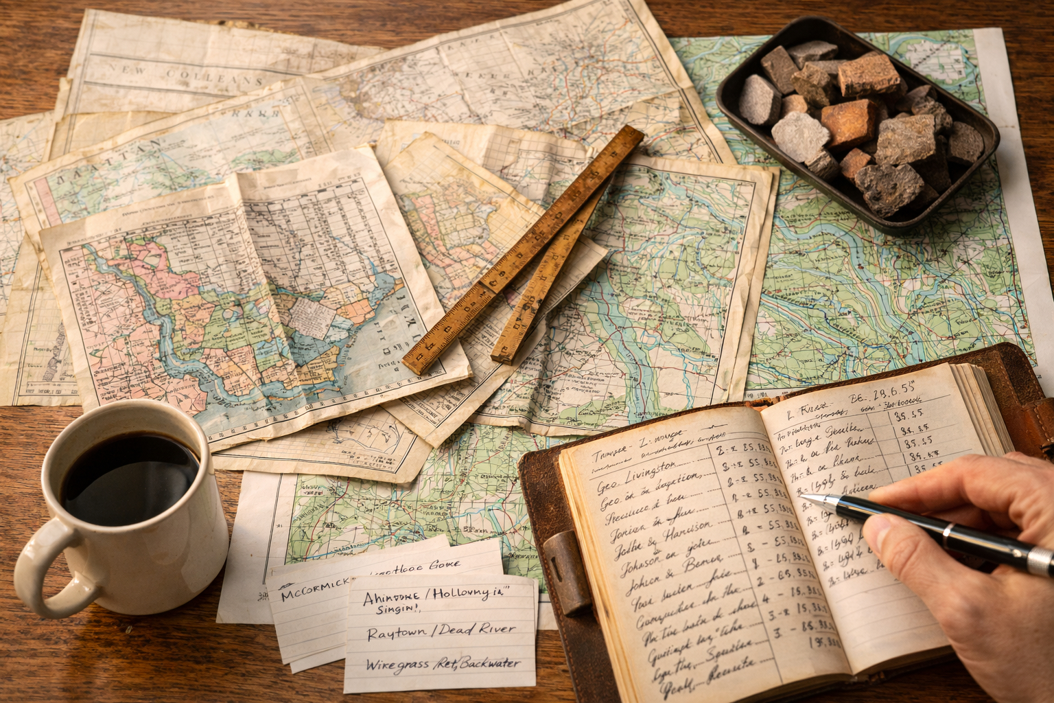
Mapping historical regions requires combining diverse sources: old maps, cadastral records, travel accounts, and material culture. GIS and georeferencing enable researchers to overlay historical layers on modern landscapes and test hypotheses about continuity. Linguistic evidence such as place names and dialect zones adds another dimension, revealing past networks of movement and influence. Integrated methods increase confidence when multiple lines of evidence converge.
– Cartographic comparison: aligning historical maps to modern coordinates.
– Archival evidence: estate records, taxation rolls, and legal texts that indicate jurisdictional reach.
– Fieldwork: survey of built heritage, landscape features, and oral histories that preserve local knowledge.
These methods are complementary: maps suggest patterns, archives supply detail, and fieldwork tests interpretations on the ground. Together they produce richer regional narratives.
Case Studies and Local Memory
Case studies show how regional identities persist even when political borders change. Local ceremonies, craft traditions, and agricultural practices often encode older territorial logics and ecological adaptations. Memory studies and ethnography reveal how communities narrate past boundaries and claim belonging. Recognizing multiple temporalities helps explain why some regional features are remarkably resilient.
– Cultural practices that survive across generations serve as living markers of a region.
– Museum collections and local archives preserve artifacts and testimonies that anchor historical claims.
In practice, combining community knowledge with scholarly sources democratizes regional history. It also creates living links between research and contemporary place-making.
Conclusion
Historical regional analysis bridges archives, maps and memory to make sense of place over time.
By using interdisciplinary methods and respecting local narratives, researchers can trace continuities and transformations.
That approach strengthens both scholarship and community engagement in regional history.